


Archaeologists are hatching a plan to unearth hundreds of thousands of miles of Roman roads previously thought to be consigned to history.
The plan comes after a research study uncovered the ancient civilisation constructed far more roads than initially believed.
The project, called Itiner-e, saw an international coalition of historians and archaeologists working together, from countries including Britain, Denmark, Spain, France and Turkey.
The researchers have drawn up the most detailed map of the ancient networks ever produced, charting around 185,000 miles of Roman roads.
A research study uncovered the ancient civilisation constructed far more roads than initially believed
|GETTY
TRENDING
Stories
Videos
Your Say
The team produced the detailed map after drawing from information hidden in ancient travel itineraries, camel routes, surveys carried out by the Ottomans, and even America spy-satellite photographs.
Itiner-e discovered that Roman road networks were much more crammed together than earlier maps indicated.
The researchers found the roads constructed in Egypt, north Africa and the Iberian peninsula were particularly dense.
An intricate network of highways, known as viae publicae, linked the Roman Empire's major hubs and towns together, while smaller, secondary roads linked more isolated settlements, such as farms and villages.
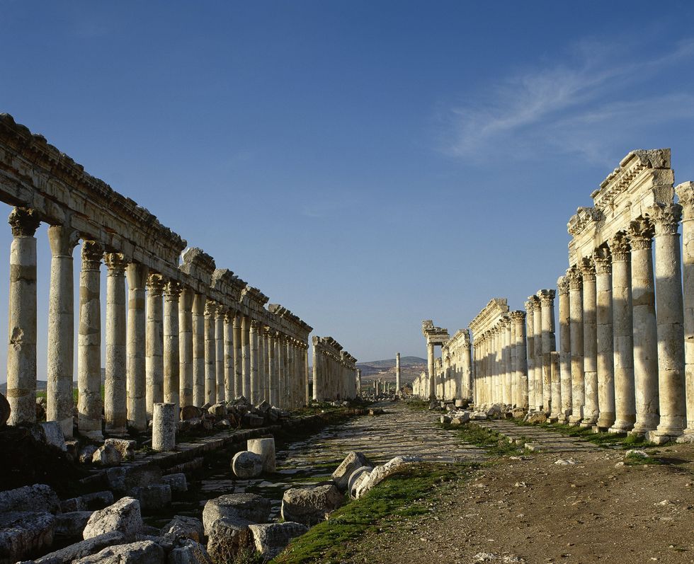
Itiner-e discovered that Roman road networks were much more crammed together than earlier maps indicated
|GETTY
The study's lead author, Aarhus University's Professor Tom Brughmans, said the new charts enabled researchers to test the long-theorised idea that Roman roads were, in fact, built in a straight line.
The project concluded that the Romans did construct straight roads, but only if the geographical landscape made it possible to do so.
Only around three per cent of Roman roads can still be seen today or are clearly recorded in surviving documents.
Around 90 per cent of the routes recently mapped are considered “conjectured” - identified through ancient travel records, milestone markings, archaeological findings and other historical evidence.
ARCHAEOLOGY NEWS - READ MORE:
- Long-lost site of Jesus's miracles is found after 2,000 years, researcher reveals
- Archaeology breakthrough as uncovered 5,000-year-old building has ties to ‘world’s first city’
- Britain told to return one of history’s most important treasures as new museum opens in Egypt
- Archaeologists 'shocked' after discovering 2,000-year-old 'murder mystery' while filming for TV show
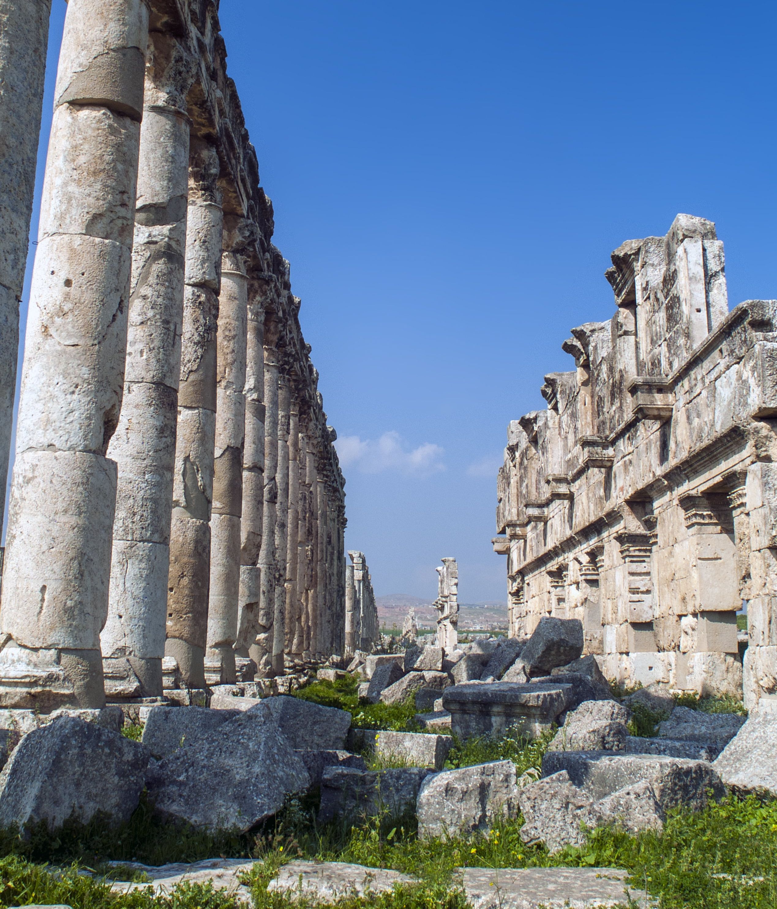
Only around three per cent of Roman roads can still be seen today
|GETTY
The detailed map is said to provide historians with greater clues as to how the Roman Empire functioned.
The study's findings show that settlements were far better connected than previously thought and gave clues as to how the widespread provinces were managed.
A large number of Roman roads were built along routes that predated the empire, while others changed course as settlements moved.
Rather than a single plan, the network evolved organically over centuries and adapted with the times.
Prof Brughmans said that many of the roads constructed by the ancient civilisation laid the way for modern networks.
He said: “We’ve identified a moderate positive correlation between Roman roads and major modern roads.
“In other words, if you’re standing on a major modern road in Europe, there’s a good chance you’re very close to a Roman road.
"Sometimes you’ll be right on top of it.”
Our Standards: The GB News Editorial Charter