
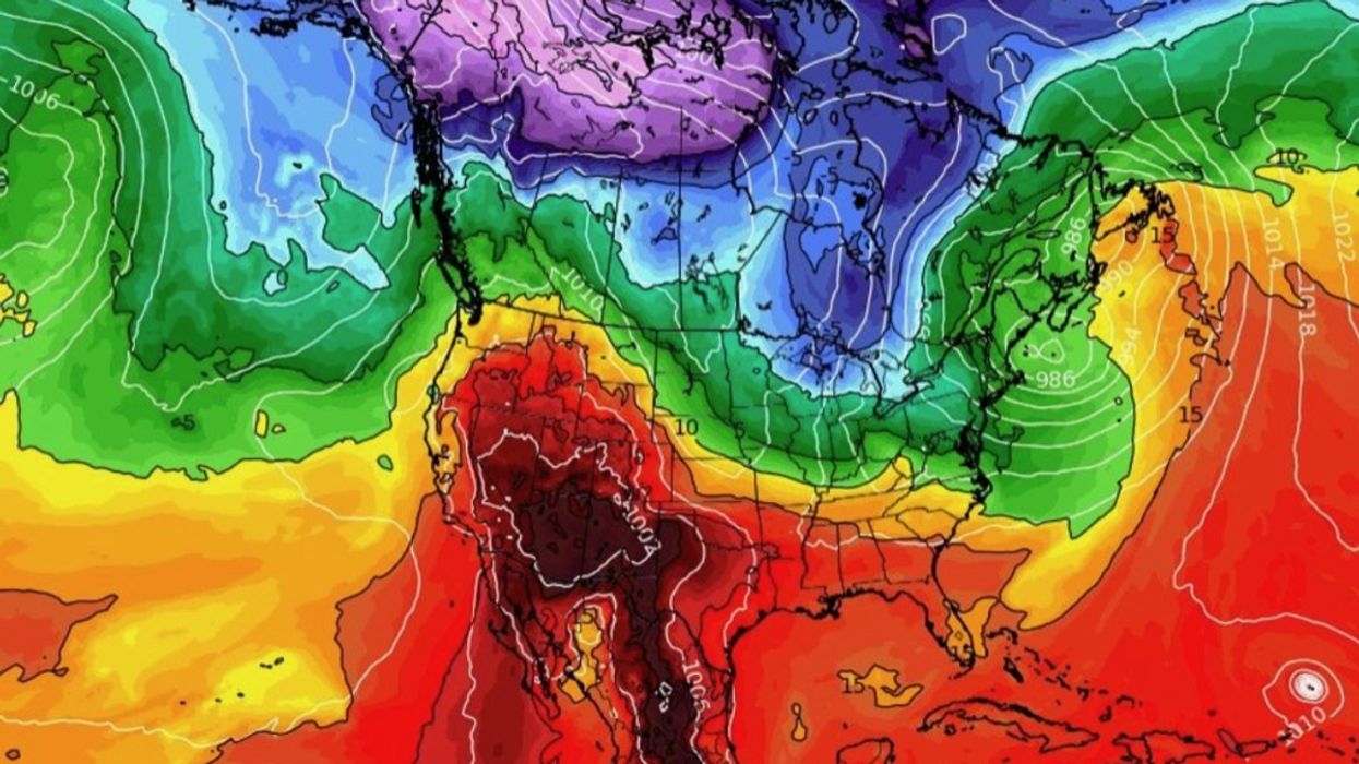


A massive cold front poised to sweep through the United States this week threatens to whip up a 3,000-mile storm corridor.
Freezing air flooding into the US through Canada from the Arctic will collide with hot air across southern States.
The meeting point will form a boundary of volatile atmospheric conditions running through America with the potential to spark thunderstorms and tornadoes.
WATCH HERE: UK weather outlook 25/10/23
Jim Dale, US weather correspondent and senior meteorologist for British Weather Services, said: “This is a huge frontal system that is going to sweep down through the United States as very cold air moves in from the north.
“It stretches really across the length of the country where the cold air from the north meets hot air in the south.
“In the middle, it is looking very sparky, and there will be thunderstorms and, again, the risk of tornadoes.
“It is like the weather equivalent of the meeting of Jekyll and Hyde.”
US LATEST:
'It is like the weather equivalent of the meeting of Jekyll and Hyde,' Jim Dale said
|weather.us
Regions most at risk through the rest of the week will be Michigan, Wisconsin, Kansas, Oklahoma, Indiana, Kentucky and Illinois, as the cold front moves southwards.
Behind the front, temperatures will nosedive as forecasters warn it could signal the start of an early freeze.
Northerly states are braced for snow over the hills and mountains, while those further south will see temperatures drop from heatwave highs of the past weeks.
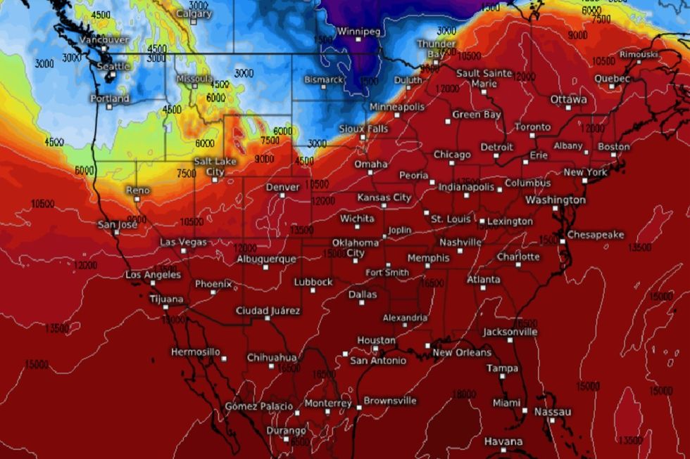
Mr Dale said: “This is some very cold air moving down, and it will strengthen the frontal system from the Great Lakes to Texas and towards the south by the middle of the week.
“This front dissects the US by the weekend, bringing very unstable conditions ahead of its path as it moves across.
“The real spark will come when the cold air meets hot air, and this will turn into a propagator for thunderstorms and tornadoes.”
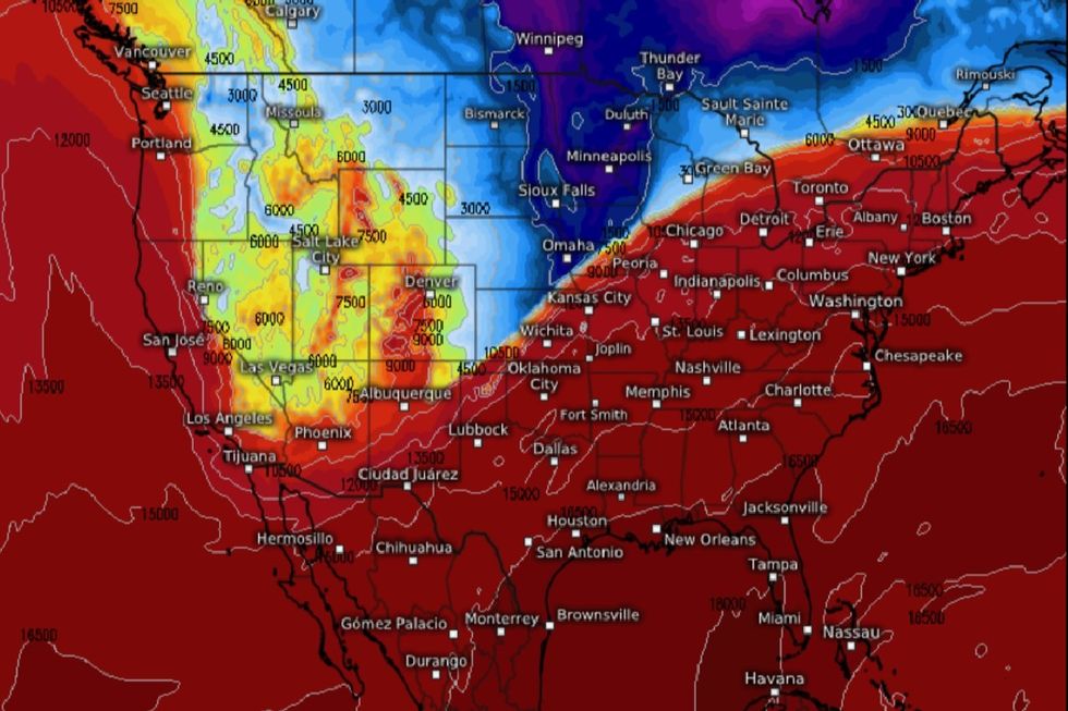
As Arctic air moves over the United States, forecasters say some regions could be in for the first snow of the season.
|weather.us
As Arctic air moves over the United States, forecasters say some regions could be in for the first snow of the season.
First hit will be the West and Northern Plains with most of the snow at high levels, although lower regions could see a flurry.
Weather Channel meteorologist Domenica Davis said: “We are going to see snow in parts of the west and even the upper Midwest through this week.
“It comes in from the northwest with cold air rushing in as well.
“Not only are you going to have snow in the higher elevations and lower elevations, but also a blast of cold air that is only going to get reinforced by the end of the week.
“This will be the first snowfall of the season for some of the lower elevations as well.”
A spokesman for the National Weather Service said: “Isolated strong to severe thunderstorms are possible across parts of the southern Plains and the Middle Missouri Valley on Wednesday.
“Hail and locally strong gusts will be possible with this activity.”