
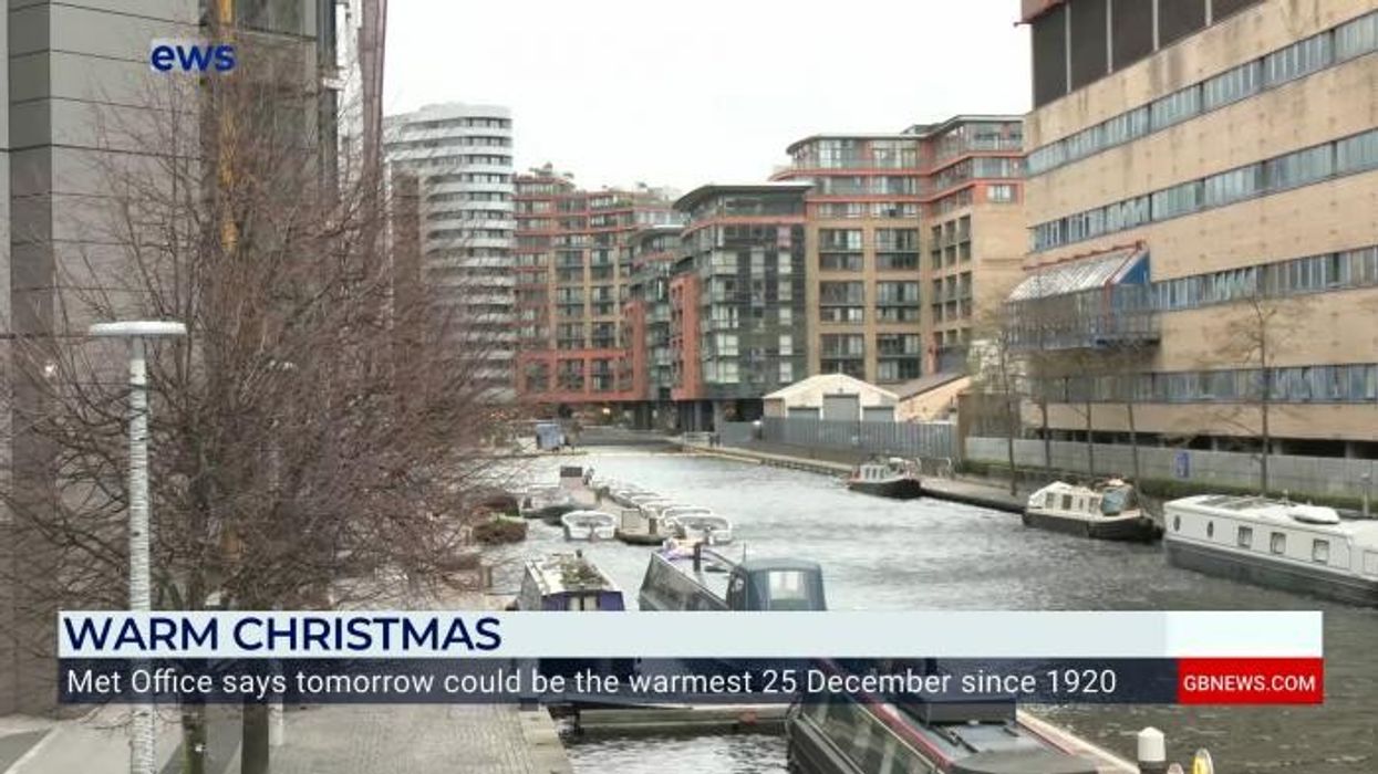


Britons can ditch the scarves and gloves today as the UK is expected to see its warmest ever December 25 in more than a century.
Forecasters are predicting unusually mild temperatures for the festive period, with mercury rising into double digits.
On Christmas Day, the Met Office said the UK will be damp and windy, however, the temperature could reach a high of 14C.
This is just one degree off the record of 15C, which was set over a hundred years ago in 1920.
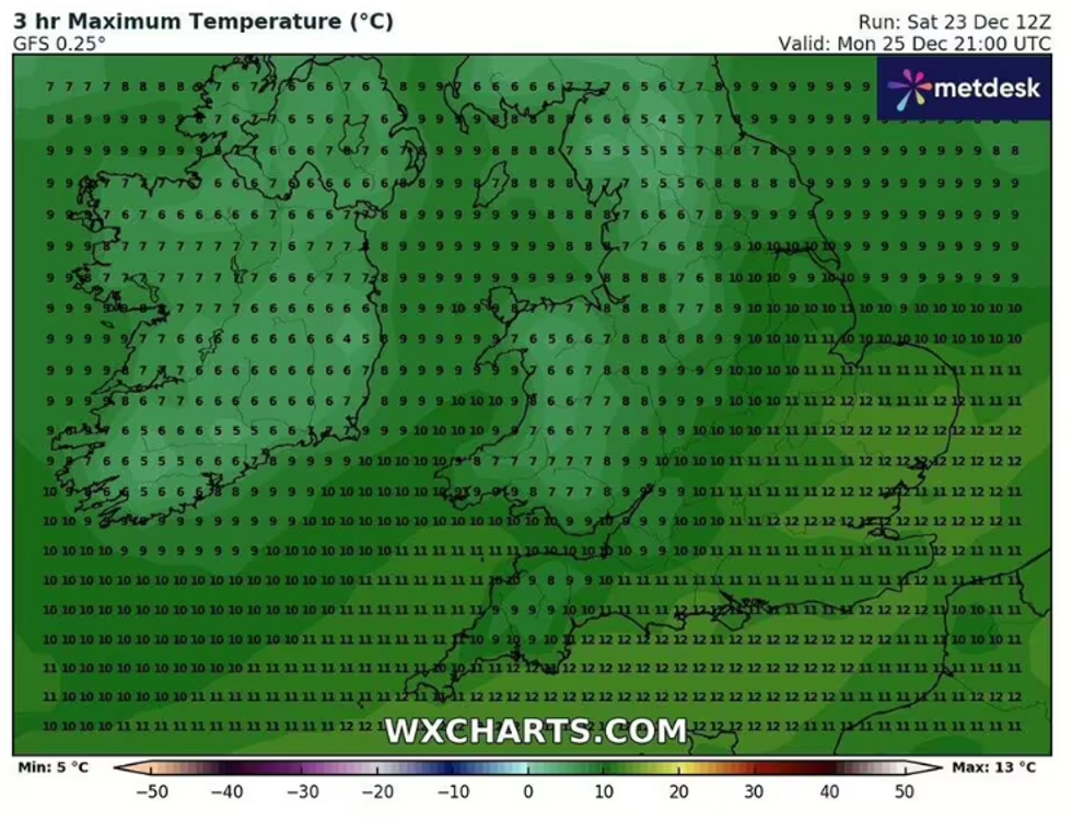
On Christmas Day the temperature could reach a high of 14C
|WX Charts
The Met Office said that there was a chance of 2023 shattering that record.
Meteorologist Liam Eslick said it is “not looking likely that there will be a white Christmas in England,” with snow only expected to fall in Scotland.
He added: “It's looking like a damp picture across the UK, heavy rain possibly in Wales. Past Christmas lunch, there could be some breaks if people are looking to go out and about.
“Boxing Day is probably going to be the best day if people are looking to go for a walk.”
WEATHER LATEST:
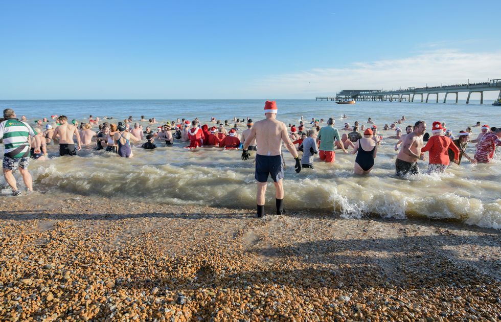
The unusually warm Christmas Day in the UK today is set to rival Spain in terms of temperature, with Seville, often seen as Europe’s hottest sea, also seeing a mercury of 15C.
However, the pleasant weather stops with the mild temperatures, as the Met Office has issued yellow warnings for parts of Wales and Scotland - with more warnings in place across the country on Wednesday.
There are two separate wind warnings, alongside a yellow rain alert in place in parts of the UK.
Describing the yellow wind alerts, the Met Office said that “strong, very gusty winds may again cause some travel disruption."
They elaborated further: “At this stage wind gusts of 40 to 50 mph look like being widespread, with some areas seeing values closer to 60 mph, particularly over and to the lee (east) of the Pennines.
“Here there is the chance that a few locations could see potentially damaging gusts to around 70 mph. Drivers of high-sided vehicles in particular are likely to experience difficult travelling conditions.”
The Met Office said that there was a 'small chance' of 2023 claiming the record of the hottest Christmas ever
| GettyAffected regions in England are the East Midlands, North East England, North West England, West Midlands, Yorkshire & Humber.
In Scotland, Central, Tayside & Fife, Grampian, Highlands & Eilean Siar, Orkney & Shetland, SW Scotland, Lothian Borders and Strathclyde, are all covered by the warning.
A yellow rain warning is also in place in Wales, with “persistent and at times heavy rain [which] could bring some disruption”.
The Met Office warned: “Further rain will affect Wales through Sunday, clearing to the south later in the day. 20-40 mm of rain may accumulate quite widely within the warning area, but west-facing high ground could see 60-80 mm of rain during this period. Strong and gusty winds will accompany the rainfall.”