UK weather: Britain in a rut as thunderstorms and winds to smash country placing summer on hold

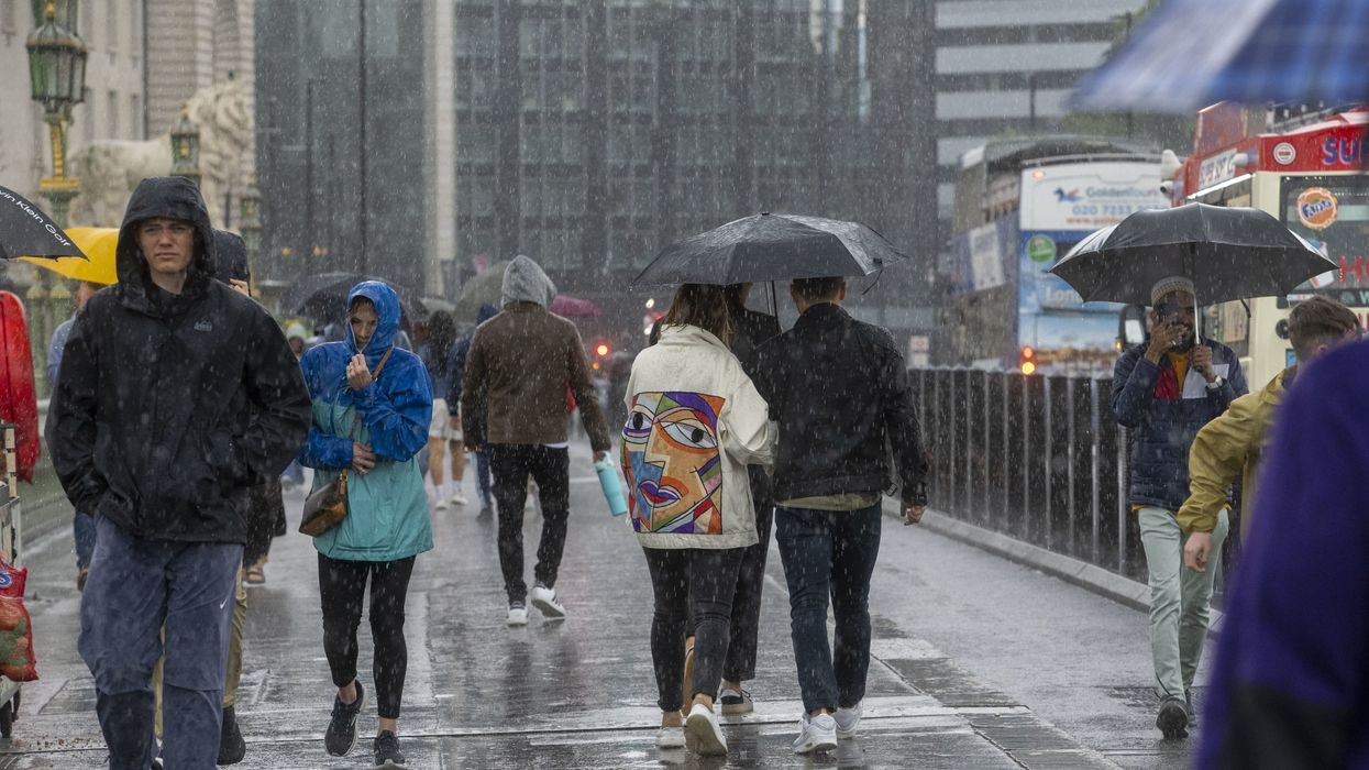
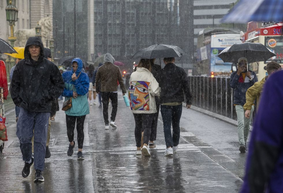
Downpours will put summer on hold for the rest of the month
|PA

This comes just days after highs of 28C are set to hit later this week
Don't Miss
Most Read
Britain will get a burst of 28C joy before thundery downpours return to put summer on hold for the rest of July.
Parts of the country will this week enjoy a blast of sunshine with temperatures to rise into the mid- to high 20Cs.
However, longer-range outlooks spell a return to wind, rain and sub-par temperatures as Britain stays ‘stuck in a rut’.
Jim Dale, meteorologist for British Weather Services and social commentator, said: “The higher temperatures over the next week or so will be to the south which will be on the fringes of high pressure coming up from the Azores.
 Downpours will put summer on hold for the rest of the month | PA
“Any chance of a widespread heatwave is on hold, certainly for the rest of the month with the jet stream south, pushing rain and showers into the UK.
“We are stuck in a bit of a rut, with high pressure that would bring better weather to Britain currently over Russia and Europe, and low pressure influencing our weather.
“The further north and west you go, the wetter and colder it will be.”
Temperatures will rise to around 24C or 25C on Wednesday, he said – around average or just above for the time of year.
And parts of the country that do see the sun will enjoy some warm and ‘pleasant’ spells.
Summer so far has been unusually cool and wet, with the UK under the influence of the jet stream which by now should be further north.
LATEST DEVELOPMENTS:

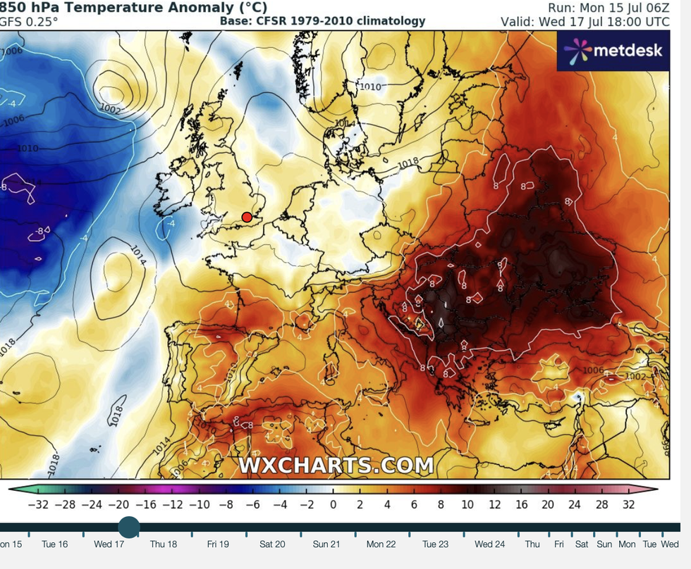
Temperatures will rise to around 24C or 25C on Wednesday
|WXCharts
The fast-flowing band of winds circling the upper atmosphere will through the rest of the month continue offering free rides to low-pressure storm systems.
In the meantime, it is a mixed week ahead with a burst of sunshine on Wednesday before a return to rain.
Met Office meteorologist Alex Burkill said: “The weather is going to cheer up for a time with a ridge of high pressure bringing some fine weather for many on Wednesday with temperatures peaking in the mid- to high-20Cs before cooler and more changeable weather returns by the weekend.
“Across the UK so far this July, it has been significantly wetter and cooler than average.”
Warmer weather mid-week will be boosted by a blast of warmer air from the south, he said.
However, the run up to the weekend will see temperatures drop and the doors open once more to Atlantic misery.

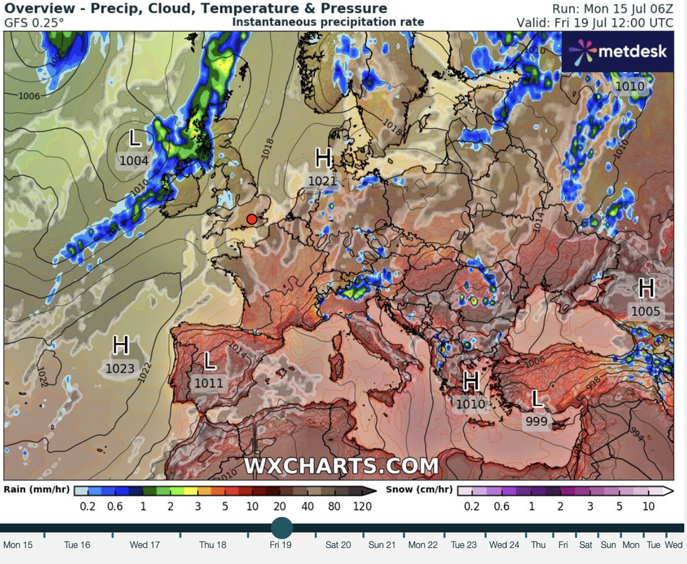
Warmer weather mid-week will be boosted by a blast of warmer air from the south
|WXCharts
Met Office meteorologist Jonathan Vautrey said: “An area of rain is approaching from the southwest and this is associated with our next area of low pressure that is going to start moving its way in for the new working week.
“It is remaining unsettled over the next few days, and this will start to bring shower outbreaks of rain and some of these could be heavy at times with some thunderstorms in the mixture as well.”
Monday marked St Swithin’s Day when folklore holds that should it rain, the next 40 days will stay wet.
While long-range outlooks rarely agree on mythological fables, the outlook for the rest of July is strikingly similar.
The Met Office monthly outlook states: “Low pressure is likely to exist to the northwest or north of the UK, allowing areas of cloud and rain to spread across from the west, although some more settled interludes are also likely, especially in the southeast.
“It will be breezy at times, with temperatures mainly near or below normal. “Thereafter, it is remaining changeable as weather systems to move across the country from the west.”


