


Britain has been plunged into chaos by the impact of Storm Larisa, with snow causing havoc on motorways and local communities plunged into darkness by power cuts.
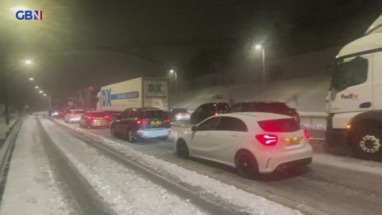
Hundreds of cars were stuck in a major traffic jam on the M62 overnight as heavy snow fall left drivers battling perilous conditions.
There are delays of at least three hours on some sections of the motorway, with National Highways urging Britons to only drive if necessary.
The government agency issued a “severe weather alert” for snow covering the North East, North West and Midlands regions until 8am this morning.
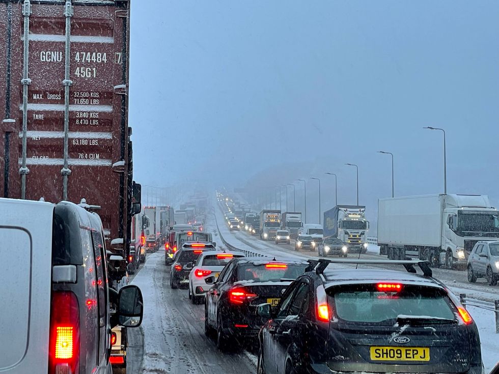
Hundreds of cars were stuck on the M62 overnight
|PA
Local areas across the country saw a series of power cuts last night as the treacherous conditions impacted.
Power suppliers said tens of thousands of customers had been impacted by unplanned outages.
Meanwhile, the Met Office has issued three amber warnings for northern England, the Midlands, North Wales and Northern Ireland, where “significant disruption” to transport and power supplies is expected.
Four yellow warnings for snow also cover much of the rest of the nation, with the exception of South East England and western Scotland.
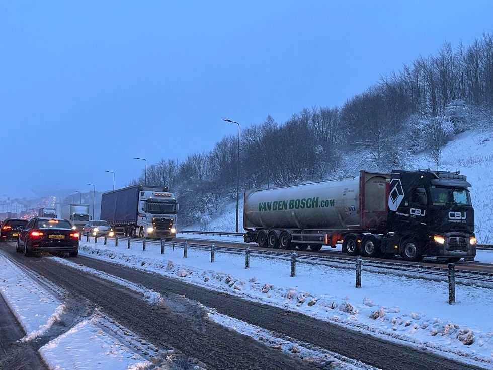
National Highways has urged Britons not to drive unless necessary
|PA
Met Office meteorologist Jonathan Vautrey said the storm, which has been named by the French weather service, is bringing rain and snow to the UK.
“Storm Larisa, which Meteo France have named, is the same low pressure system that is bringing us the bands of rain,” he said.
“But essentially, we’re on the northern side of the low pressure system and it’s the southern side of that low pressure system that is going to be bringing particularly strong winds to parts of France.
“So that did originate out in the Atlantic and then it tracked its way eastward towards us, and the weather fronts that are swirling around that low pressure system have then been pushing into the cold air that has been in places across the UK and allowing that rain to start falling as snow across several areas.”
North-west Wales and northern England are expected to see as much as 40cm of snow, while winds are set to hit at least 50mph.
Met Office meteorologist Alex Burkill warned: “The combination of heavy snow and gales is why we’re likely to see blizzards and drifting snow which causes extra hazards on the roads.
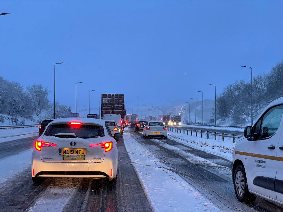
Delays of at least three hours are expected on the M62
|PA
“In places covered by amber warnings, there will be very difficult, treacherous conditions.
“Ideally, avoid travelling in those periods – but if you have to head out then be aware that journeys could take significantly longer.”
It comes after the UK experienced its coldest night of the year on Wednesday, with temperatures reaching as low as -16C overnight in parts of the country. Temperatures were thought to be similarly low last night.
The weather is expected to clear by the end of Friday, before then being replaced by another low pressure system, leading to a further yellow snow and ice warning for much of northern England and Scotland from 3pm on Saturday to 6am on Sunday.