Ron DeSantis issues ‘state of emergency’ in Florida amid threat of major weather event

Ron DeSantis issues ‘state of emergency’ in Florida amid threat of major weather event
|REUTERS/NOAA

The Florida governor warned of heavy rain and flooding with the possibility of power cuts
Don't Miss
Most Read
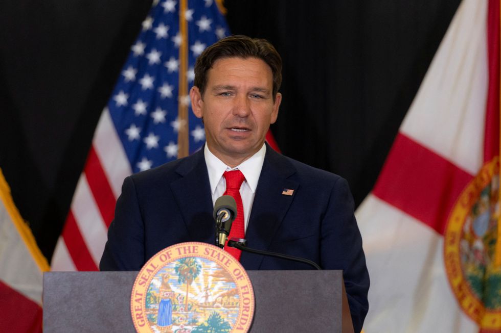
Ron DeSantis has issued a "state of emergency" in Florida as Tropical Cyclone Nine looms off the US coast.
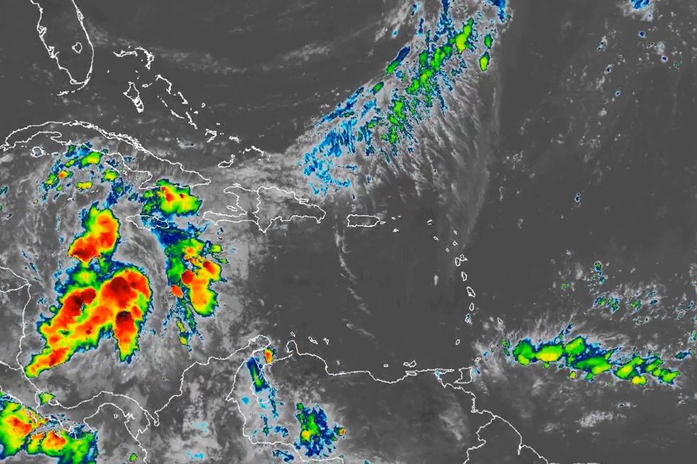
The potentially dangerous weather system formed near western Cuba and is expected to develop into a hurricane by Wednesday as it moves across the eastern Gulf of Mexico.
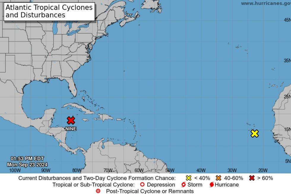
The US National Hurricane Center (NHC) reported that the system is currently located about 350 miles (565 km) south-southeast of the western tip of Cuba.
With maximum sustained winds of 30 miles per hour (45 kph), the system is forecast to strengthen significantly in the coming days.
 Ron DeSantis issues ‘state of emergency’ in Florida amid threat of major weather event | REUTERS
In an official statement from the Governor's office, DeSantis issued a "state of emergency" as he warned of a "significant threat".
"As of 11:00 AM EDT on Monday, September 23, 2024, showers and thunderstorms located over the northwestern Caribbean Sea and portions of Central America have been associated with a broad area of low pressure, now identified as Potential Tropical Cyclone Nine.
"Based on atmospheric and oceanic data, highly conducive environmental conditions are forecast to organize and develop Potential Tropical Cyclone Nine into a tropical depression or tropical storm during the next day or two over the northwestern Caribbean Sea and southeastern Gulf of Mexico, where further development and strengthening is expected.
"Forecast models indicate that this system will have a vast areal extent, and its impact will likely extend well beyond its center, along the northeast Gulf Coast.
"There is a significant threat of storm surge, coastal flooding and erosion, heavy rainfall and flash flooding, and damaging winds to the Florida Gulf Coast.
"Due to the impacts from Hurricane Debby, the water tables and riverine levels across North and West-Central Florida remain above normal, and the additional incoming heavy rainfall will likely cause significant riverine flooding for an extended period.
"The incoming heavy rainfall, flooding, and gusty winds will cause widespread power outages due to fallen trees and powerlines.
"These conditions could damage the operational capability of major interstates, roadways, bridges, airports, schools, hospitals, power grids and other critical infrastructure.
"As Governor of Florida, I am responsible to meet the dangers presented to the State of Florida and its people by this emergency."
Issuing the "state of emergency", DeSantis also ordered the activation of the Florida National Guard and Florida State Guard "as needed, to deal with this emergency".
US NEWS LATEST:
NOAA shows Tropical Cyclone Nine developing
|NOAA
Residents along the Gulf Coast, from Louisiana to Florida, are being urged to stay alert and prepare for possible impacts later this week.
The NHC warns that environmental conditions appear favourable for the system's development. A tropical depression or tropical storm is likely to form in the coming days as it moves northward across the northwestern Caribbean Sea and Gulf of Mexico.
Forecasters predict the system could intensify into Tropical Storm Helene by midweek. By Thursday or Friday, it may make landfall as a tropical storm or hurricane somewhere between Louisiana and Florida.
"This will be a fast-developing situation, so now is the time to think through what you would do in the potentially affected areas if a significant storm comes your way late in the week," FOX Weather Hurricane Specialist Bryan Norcross advised.

NOAA identifies Tropical Cyclone Nine
|NOAA
Hurricane watches may be issued for parts of the US Gulf Coast as early as Tuesday.
Residents along the Gulf Coast are strongly advised to monitor the system's progress closely and make necessary preparations for potential hurricane impacts.
"Residents on or near the coast between Louisiana and Florida should stay well informed," Norcross emphasised.
Those in potentially affected areas have been advised to review their hurricane preparedness plans, stock up on essential supplies, and secure outdoor items that could become projectiles in high winds.


