Met Office extends extreme heat weather warning with heatwave set to continue into next week

Live stream 1069
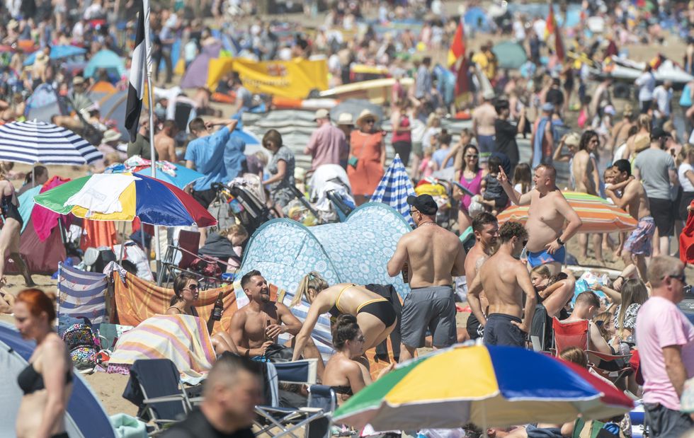
Temperatures continue to soar across the UK, with the heatwave expected to continue on Monday and Tuesday
Don't Miss
Most Read
The Met Office has extended its amber warning for extreme heat to cover Tuesday next week.
The warning for exceptionally high temperatures for much of England and Wales is now in place from Sunday until the end of Tuesday, with the hot spell expected to peak on Monday or Tuesday.
It said: “Population-wide adverse health effects are likely to be experienced, not limited to those most vulnerable to extreme heat, leading to potential serious illness or danger to life.”
Road closures and cancellations and delays to rail and air travel are also possible.
Temperatures are set to continue to soar next week
Danny Lawson
Forecasters believe there is a 30 percent chance that temperature could rise above the current UK record of 38.7C, set in Cambridge in 2019.
Forecaster Matthew Box said: “As we get into Sunday it looks like we could see temperatures rise into the high 20s and into the low 30s as well but potentially a few spots getting 34C or 35C by Sunday and probably the same again on Monday.
“We could see by Monday temperatures getting towards the mid or high 30s and there’s about a 30 percent chance we could see the UK record broken, most likely on Monday at the moment.”
“It’s looking like things are going to become hot or very hot as we go through the weekend and into next week,” Mr Box added.
Forecasters believe there is a 30 percent chance that temperature could rise above the current UK record in the coming days
Ben Birchall
Mr Box explained the heatwave is a result of hot air flowing to the UK from the continent.
He added: “What happens as we get into the weekend, the high pressure becomes centred to the east of the UK and that allow a southerly flow of air to drag up, the very warm air that’s over France at the moment, and drag it northwards to the UK over the weekend, perhaps more so on Sunday and into Monday.”
Network Rail could soon bring in speed restrictions to reduce the likelihood of tracks buckling as the heatwave continues and in turn bring disruption to people across the country.
London Ambulance Service urged the public to support it as the heat continues by only calling 999 in the event of a life-threatening emergency, keeping hydrated and staying out of the sun during the hottest periods of the day.
While some local councils are warning that binmen may be delayed in collecting rubbish because of the heat.


